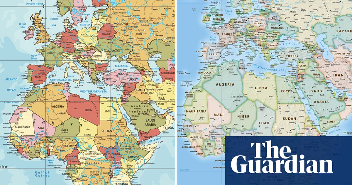
Every country looks distorted and warped based on your lifetime of experience looking at mercator projection. Every country looks warped and distorted when compared to globes. We learn geography on a flat surface which is inherently distorted because we live on a round surface
Actually, fun fact, the entire point of the Mercator projection is that it DOES maintain shapes/angles, just not scale. It’s a nautical map, it’s for sailing. That’s why when you look at a mercator map and a globe, the countries look about the same, just potentially different sizes- because that’s literally the point of it.
Not exactly it distorts shapes a lot. However if you pick point A on a coast and point B on a different coast the angle of the line is the heading you should sail to go from point A to point B.
So yeah very useful as a nautical map if you want to navigate from place to place. Not accurate in shape though.