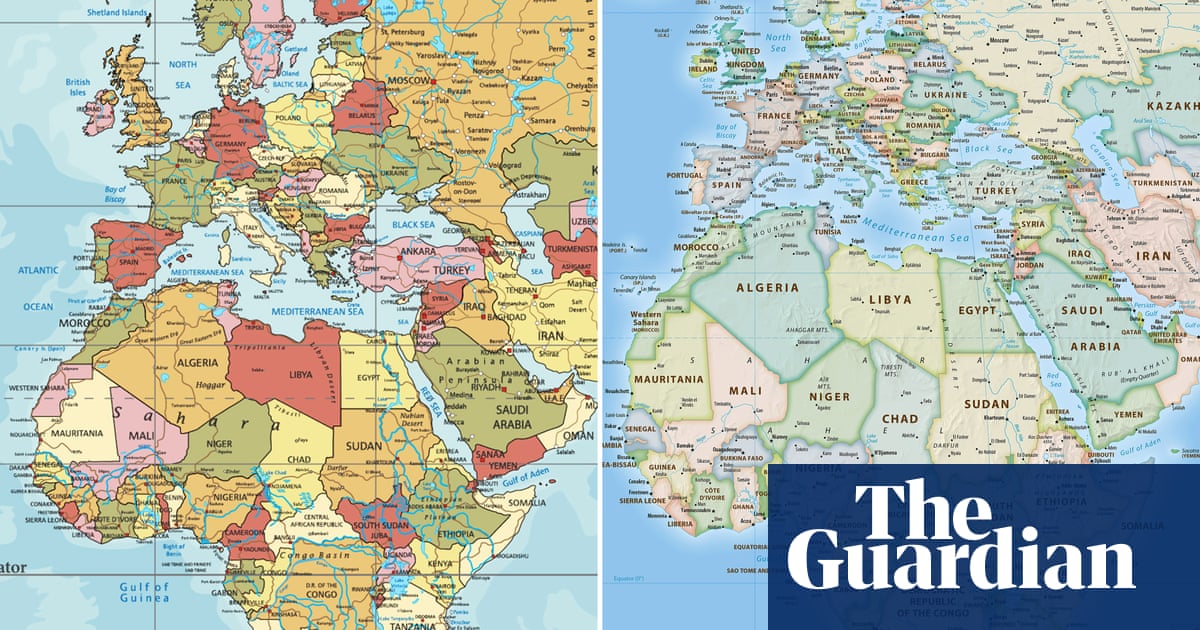
Or just want a map that you can cut a small piece (up to a square 10° of longitude) from and have it just work (no skewing or non-proportional scaling required) although non-interactive world maps should use Robinson, Winkel-Tripel or something.
Of course, “a square 10° of latitude”, while the same size on the full map, will cover different areas. The side length is approximately:
1110 km near the equator (0°)
960 km in North/South Africa or Florida (30°)
790 km in NYC, Venice or south NZ (45°)
558 km in Oslo, Anchorage or northernmost Antarctic islands (60°)
289 km in central Greenland, northernmost peninsula of Russia or Canada or southernmost sea (75°)
at higher latitudes, approx. 𝑥 km when 6𝑥 km from the pole
If you’re at the Amundsen-Scott research station, a square 10° of latitude won’t do, as it covers just about your bed.
Which, at a global scale, is important in your life when exactly? The only time I move at a global scale I’m flying, and then the projection makes it look like my pilot doesn’t know how to fly in a straight line.
Since the advent of widespread GPS, a lot less. It’s historically interesting, and is still used as a backup by some ships, but it’s not really necessary the way it was in the age of sail when it became the projection.
Again, if they just want to switch to something more balanced as a default when you just want to point at things on a map, that’s entirely reasonable.

Like completely, or just as a default?
It’s uniquely the best option if you like using compass bearings.
Or just want a map that you can cut a small piece (up to a square 10° of longitude) from and have it just work (no skewing or non-proportional scaling required) although non-interactive world maps should use Robinson, Winkel-Tripel or something.
Of course, “a square 10° of latitude”, while the same size on the full map, will cover different areas. The side length is approximately:
If you’re at the Amundsen-Scott research station, a square 10° of latitude won’t do, as it covers just about your bed.
Which, at a global scale, is important in your life when exactly? The only time I move at a global scale I’m flying, and then the projection makes it look like my pilot doesn’t know how to fly in a straight line.
Since the advent of widespread GPS, a lot less. It’s historically interesting, and is still used as a backup by some ships, but it’s not really necessary the way it was in the age of sail when it became the projection.
Again, if they just want to switch to something more balanced as a default when you just want to point at things on a map, that’s entirely reasonable.